The first talk on Hereford History Day on the 16th of May 2026 will be mine at 11:30am. The talks are free and are in the Oak room in Hereford Town Hall My talk on Victorian Hiring Fairs outlines: How, when and where the fairs worked The evidence they leave behind The campaign against theContinueContinue reading “Hereford History Day”
Author Archives: herefordshiregen
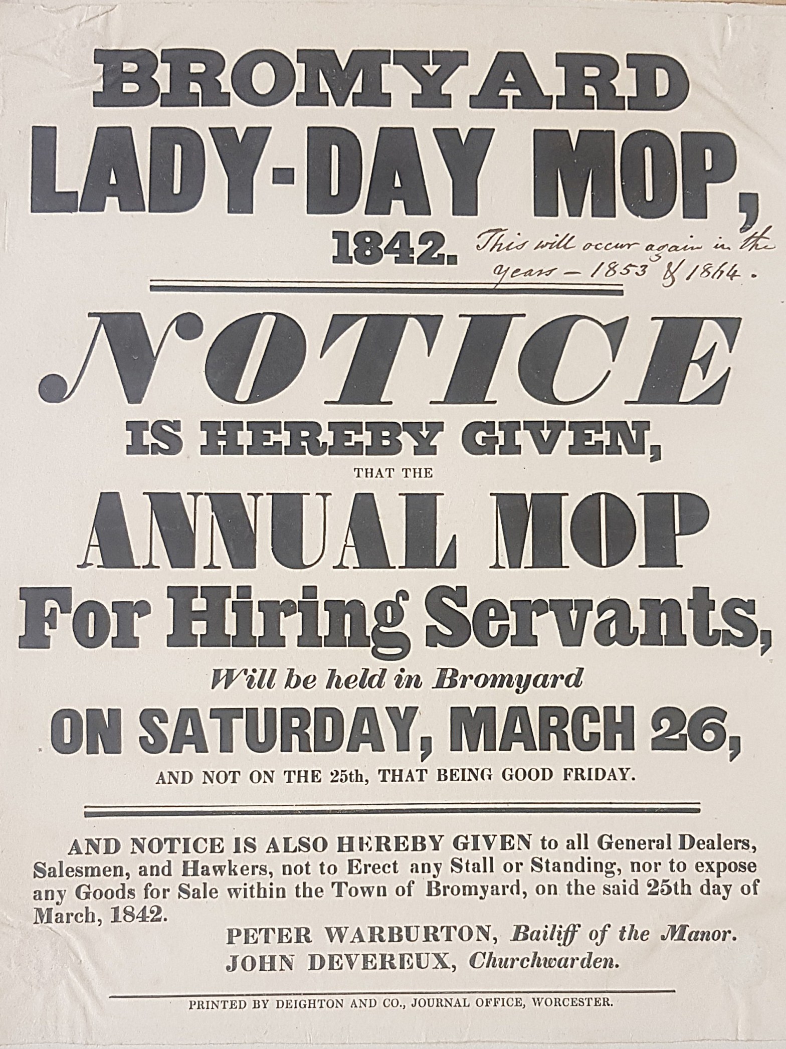
Talk on Victorian Hiring Fairs

Come and hear all about Victorian Hiring Fairs when I give a talk at Herefordshire Archives An important time of the year for any rural community, the Hiring, Mop or Statute Fair reached its peak popularity in the 19th Century as a way to seek and to provide employment. My talk will outline how theContinueContinue reading “Talk on Victorian Hiring Fairs”
Upcoming Talk: Researching your Rural Ancestors
Until well into the 19th century, England and Wales was predominantly rural in nature. As a result, most of us will find our roots in the English and Welsh countryside. But where can we find out more about the lives that our rural ancestors led? My talk will introduce you to some of theContinueContinue reading “Upcoming Talk: Researching your Rural Ancestors”
Parish Chest Talk at FHS of Cheshire
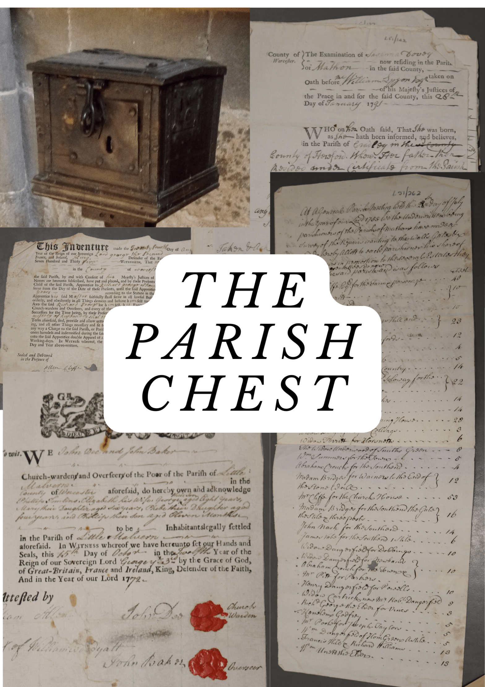
On Tuesday 8th October, I will giving an online talk at the Family History Society of Cheshire all about the wonders to be found within the Parish Chest including: Churchwardens’ accounts Poor Law Records Bastardy Bonds Vestry minutes https://www.fhsc.org.uk/events/crewe/141-crewe-fhsc-org-uk.html
Was Your Ancestor an Agricultural Labourer? An Upcoming Event
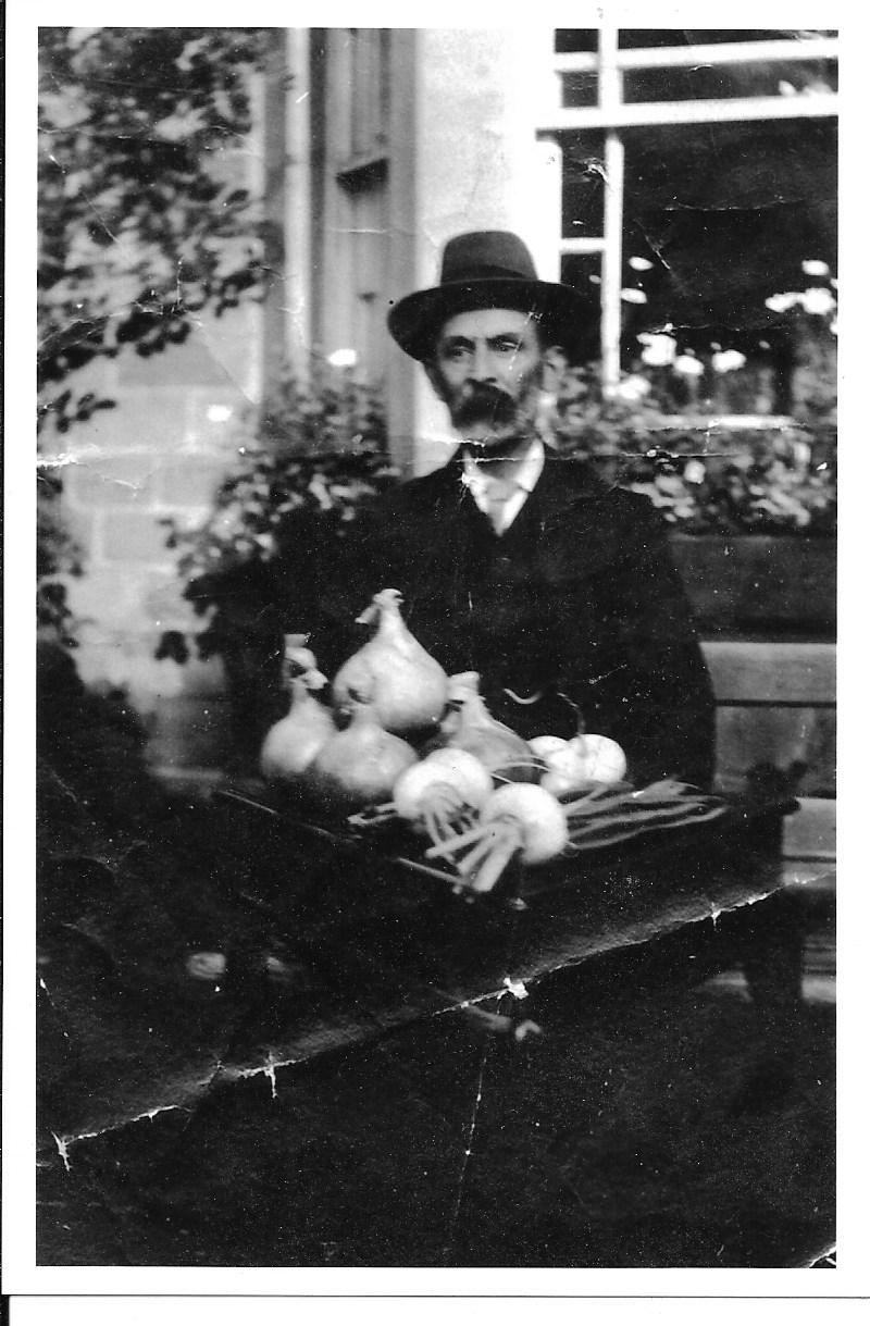
An Upcoming Event that I am taking part in! (Full day) online from the Society of Genealogists Have you ever secretly thought that your agricultural labourer (“ag lab”) ancestors were a little bit boring? Perhaps you’ve struggled to find out more about their lives? Or are unsure about the sorts of activities your ancestor wouldContinueContinue reading “Was Your Ancestor an Agricultural Labourer? An Upcoming Event”
Start your Family History talk
I will be giving a talk at Herefordshire archives on Saturday 9th December 2pm-3pm on how to get started with your family history in England and Wales covering topics such as: Census Returns Civil Registration of Births, marriages and Deaths Parish records There will be an opportunity afterwards to have a look around the searchContinueContinue reading “Start your Family History talk”
Explore the Parish Chest!
Join me in looking at all the Parish Chest has to offer on Saturday 11th November 2.pm via zoom for the Society of Genealogists. Find out about the records that churchwardens, overseers for the poor, the vestry and the parish constable have left behind that can help to fill in some of the gaps inContinueContinue reading “Explore the Parish Chest!”
Researching Your Illegitimate Ancestors
I am sure in our research that we have all come across an empty father’s section on a birth certificate or just the mother’s name in the baptismal register. The question is, can we ever find out about the father? The answer is yes, sometimes, but you need to know where to look. Find outContinueContinue reading “Researching Your Illegitimate Ancestors”
New Talk – Explore the Parish Chest
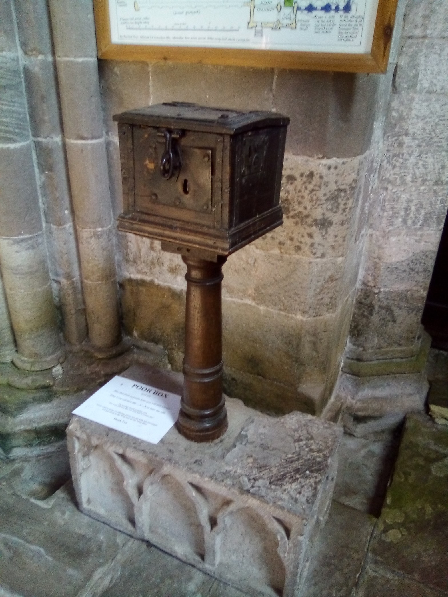
I am giving a talk for the Society of Genealogists… come with me to discover the treasures of the Parish Chest… Parish registers are not the only treasures created by the parish. As well as having an ecclesiastical function, the parish was (and is) the smallest civil administrative unit in England and Wales. As aContinueContinue reading “New Talk – Explore the Parish Chest”
Discover your Irish Roots
If you have Irish ancestors in your tree but don’t know how to start then come to my talk on Friday 17th March 2pm at Herefordshire archives. Email archives@herefordshire.gov.uk to book a place!
